Landmarks in Makkah and Madinah
The key places around the Haram and the Prophet's Mosque, with map points and your distance to each one.
Information only. Rules, permits and timings change, so confirm with official sources and your scholar before you travel. We do not sell, book or guarantee anything.
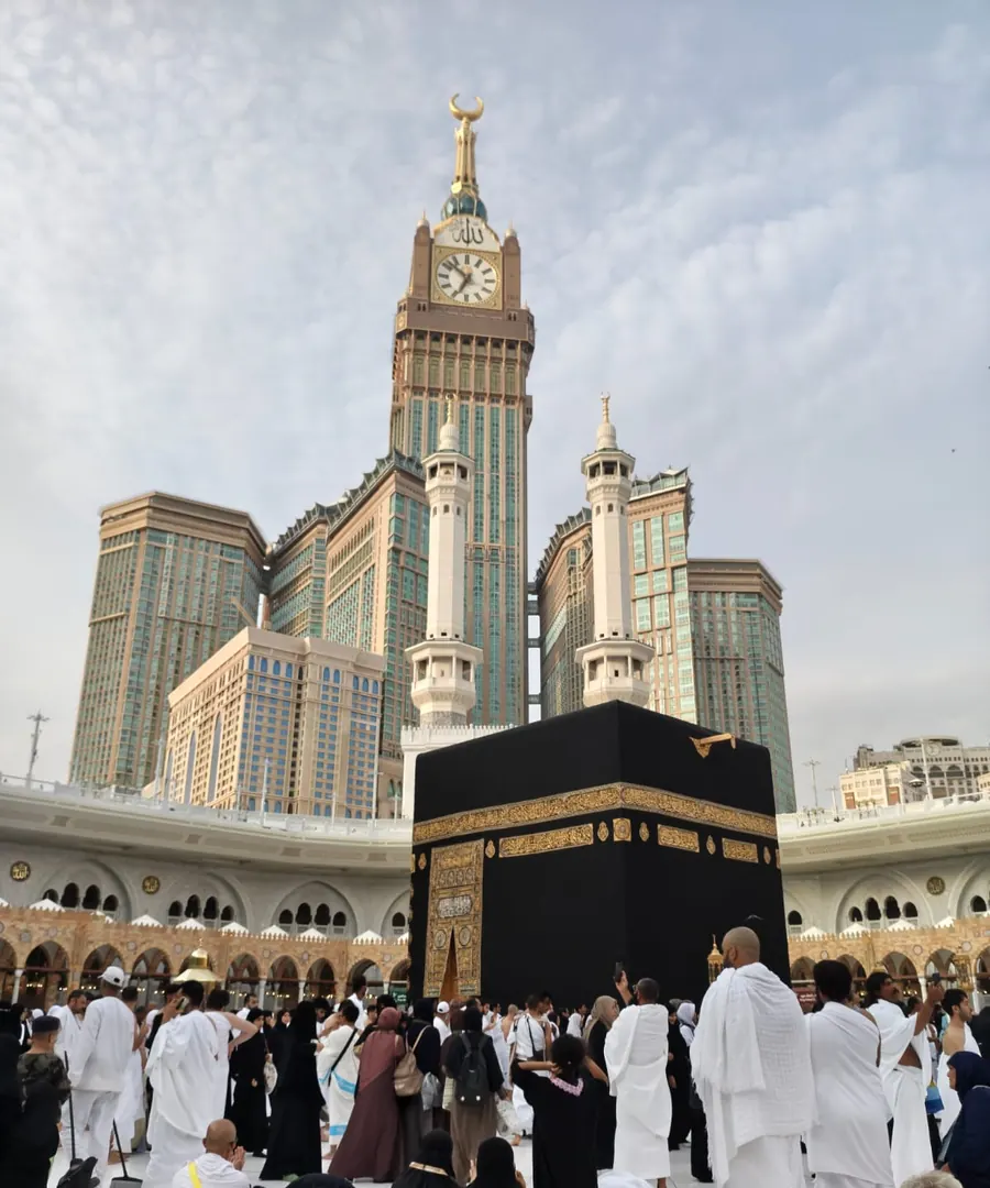
Masjid al Haram and the Kaaba
Grand Mosque, Makkah. The centre of Makkah. Every distance in this guide is measured from here.
Distance: tap Find distances
Abraj Al Bait Clock Towers
Landmark tower and mall, Makkah. The tower complex next to the Haram with a large mall and food court.
Distance: tap Find distances
Safa and Marwa
Sai walkway, Makkah. The walkway for sai, inside the mosque building.
Distance: tap Find distances
Jabal Omar
District, Makkah. Hotels, shops and restaurants a short walk from the Haram.
Distance: tap Find distances
Ajyad
District, Makkah. The busy area south of the Haram with many hotels and restaurants.
Distance: tap Find distances
Jabal al Nour and Cave Hira
Mountain and cave, Makkah. Where the first revelation came. Go early and carry water.
Distance: tap Find distances
Jabal Thawr
Mountain, Makkah. Where the Prophet and Abu Bakr sheltered during the Hijra.
Distance: tap Find distances
Masjid Aisha at Tanim
Mosque and miqat, Makkah. The nearest place outside the Haram boundary to put on ihram.
Distance: tap Find distances
Mina
Hajj site, Makkah. The tent city used during Hajj.
Distance: tap Find distances
Muzdalifah
Hajj site, Makkah. Where pilgrims spend the night after Arafat.
Distance: tap Find distances
Arafat and Jabal Rahmah
Hajj site, Makkah. The site of the standing on the 9th of Dhul Hijjah.
Distance: tap Find distances
Masjid an Nabawi
Prophet's Mosque, Madinah. The centre of Madinah and the Rawdah. Distances in Madinah start here.
Distance: tap Find distances
Jannat al Baqi
Cemetery, Madinah. The main cemetery of Madinah, next to the Prophet's Mosque.
Distance: tap Find distances
Quba Mosque
Mosque, Madinah. The first mosque built in Islam.
Distance: tap Find distances
Masjid al Qiblatayn
Mosque, Madinah. The mosque of the two qiblas.
Distance: tap Find distances
Mount Uhud and the martyrs
Historic site, Madinah. The site of the Battle of Uhud.
Distance: tap Find distances
Masjid al Ghamama
Mosque, Madinah. A mosque a short walk from the Prophet's Mosque.
Distance: tap Find distances
Madinah Haramain Railway Station
Train station, Madinah. The station for the Haramain high speed train.
Distance: tap Find distances
Coordinates are approximate. Open each place in Google Maps for live details. See also ziyarat places and the directory.
Sources and review
Reviewed by the Makkah Madina Guide editorial team on 20 October 2026. Always check the latest rules with the Nusuk platform and the Saudi Ministry of Hajj and Umrah, and ask a qualified scholar for religious rulings.
Related: Taif ziyarat, Jeddah ziyarat, Masjid Aisha.
See also: Kiswa of the Kaaba.